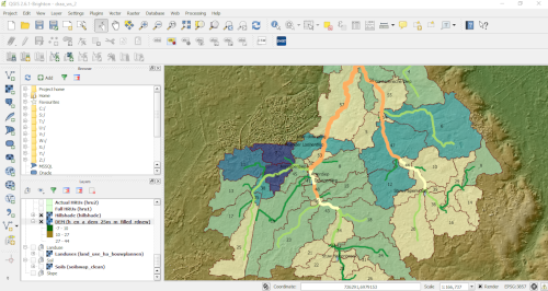
This course is targets both inexperienced GIS users, as well as more experienced users who make a transisition from ArcGIS to QGIS. We assume that the user has some background knowledge on how a Geographic Information System can be used to process, combine, analyse and display geospatial data. The course is mainly self-learning and uses a reader, assignemnt and example vector and raster files to familiarise the course participant with QGIS. Links are also supplied to the general QGIS documents and training courses.
- Teacher: Beatriz de la Loma González
- Teacher: Koen Exterkate
- Teacher: Theo Kleinendorst
- Teacher: Kalkidan Mulugeta Bazie
- Teacher: Dr. Maarten J. Waterloo
