Acacia Water Academy

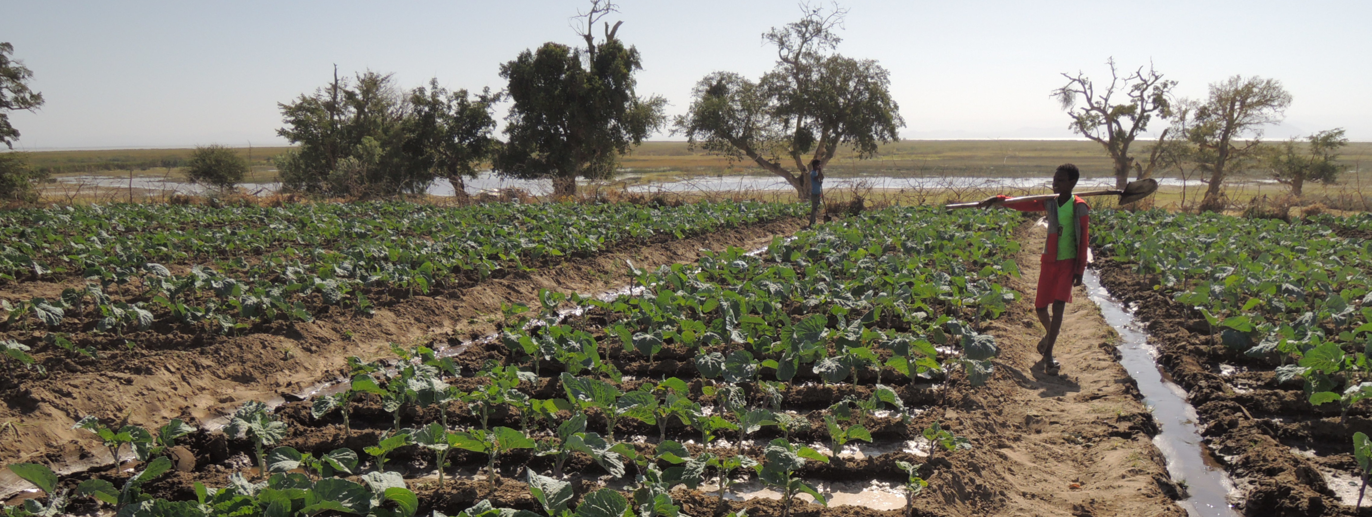
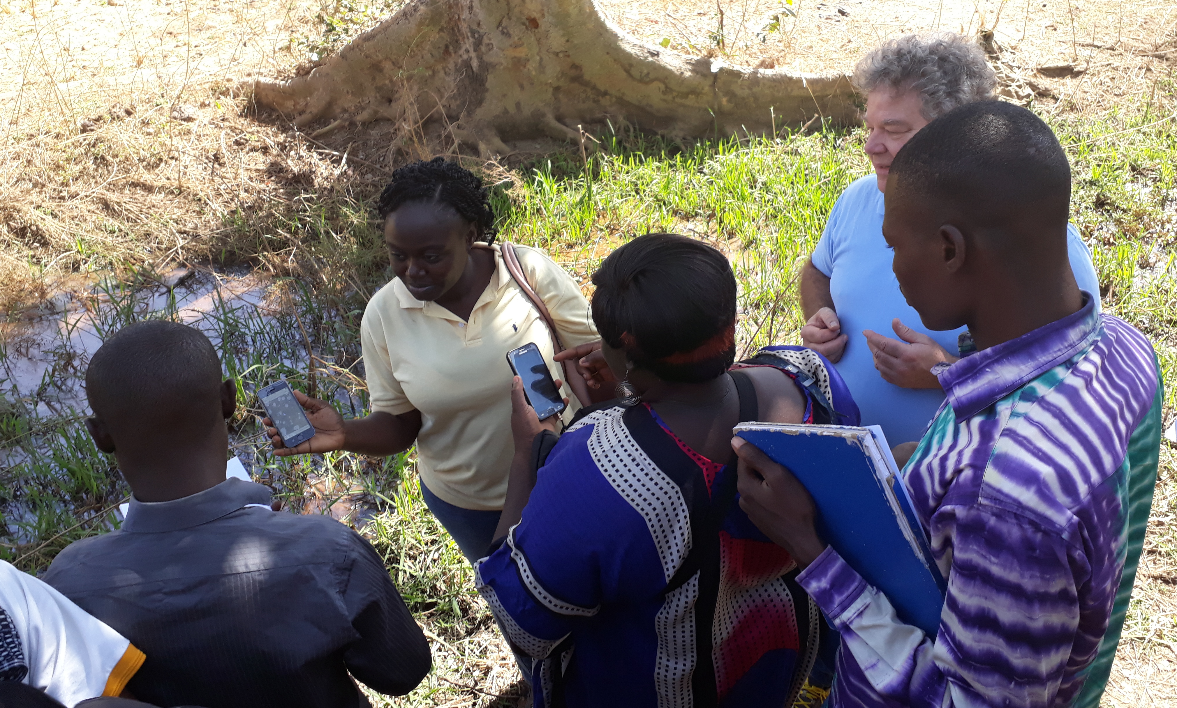
The Acacia Water Academy from the Acacia Institute provides educational services in hydrology and water resources management. Courses were developed by members of the Amsterdam Critical Zone Hydrology Group, who moved from the VU University in Amsterdam to Acacia Water. The courses are for professionals and researchers in the water sector, who feel that they need more insight into hydrological theory and processes, field methodology and water resource management.

The course co-ordinators have PhD degrees in hydrology. They obtained their University Teaching Qualifications at the VU University Amsterdam, and have over 15 years of experience in teaching BSc and MSc students, both in classroom courses, computer workshops and in international field courses in hydrology.

The courses adhere to quality criteria set for universities in the Netherlands, i.e learning outcomes are formulated, courses are developed in a professional way by certified teachers, and participants are tested if issue of a certificate is required.

For more information on our course programme, and for applying to participate in our courses, please contact the programme co-ordinater Dr. M.J. Waterloo.

    Available courses

    Avec le changement climatique et la croissance de la population, il est nécessaire de gérer au mieux les ressources en eau afin de fournir à la société une eau en quantité suffisante et de bonne qualité pour un usage domestique, agricole et industriel. À cette fin, des plans nationaux de gestion de l’eau sont souvent élaborés. Cependant, la mise en œuvre régionale et locale de ces plans nécessite des solutions sur mesure. Ce cours traite de la gestion intégrale des ressources en eau en mettant l'accent sur la mise en œuvre locale.

    One of the means to enhance climate resilience to meet future water supply demands is the application of water harvesting in source areas. There are usually several options to design and implement such measures with different efficiencies and costs. An evaluation therefore has to be made to optimise the selection of options in terms of water quantity and quality aspects, as well as the required investments for implementation and subsequent monitoring. This training focuses on the evaluation process to arrive at optimal solutions. The training provides background information and and shows the practical aspects of the evaluation in a case study.

    This platform serves to share information and experiences on water allocation planning.

    Climate change has a great impact on the water resources in Kenya. Understanding these changes is important for making climate change resilience and mitigation plans as part of integrated water resources management. The training will provide the participants with knowledge and skills to better understand climate change impacts and mitigation measures that can be applied to improve water resources availability. The training is partly given online and also includes filed excursions.

    Deelnemers maken in deze training kennis met de Water Footprint evaluatie methode, krijgen een introductie in het functioneren van het Nederlandse watersysteem en van het watersysteem in de regio Nijmegen.

    The science of hydrology is important to our society because it is the basis for good water resources management. This course is at a BSc level and encourages the student to learn about all components of the water cycle and to instill thinking about our environment as a hydrological system in which all components are linked.

    Water users depend on the availability of groundwater and surface water in sufficient quantities and of good quality for their domestic, agricultural and industrial activities. Water resources managers need practical hydrogeologic knowledge and accurate information for making decisions on water allocation, to determine if resources are used in a sustainable way and to guarantee that ecological flows can be maintained. Quantifying hydrological processes is challenging, however, because of the difficulties associated with reliably measuring water fluxes and availability under field conditions. With respect to the evaluation of groundwater resources, understanding of geological and hydrological systems is needed to design an optimal monitoring network, to quantify recharge rates, and to determine flow  patterns, sustainability and water quality risks. The course on applied hydrogeology and groundwater resource management aims to provide practical knowledge to water resources planners and is given by staff experienced in the exploration, assessment, quantification and management of water resources.


    The Acacia Water Academy has developed the course Applied Geophysics in Hydrology as a self-study introductory course at Master level. The course aims to provide a background in practical geophysical exploration. The course has a study load equivalent to 3 points in the European Credit Transfer System (ECTS) and is co-ordinated by Dr. J. (Koos) Groen of the Acacia Water Academy of the Acacia Institute. The course is targeting BSc and MSc students and graduates in Earth Sciences or related studies, and professionals in the water sector, who feel that they lack basic understanding of the use of geophysics in hydrology. The participant needs to have a basic background in mathematics and physics at BSc level and some knowledge about geology and hydrology to follow this course.

    This course provides the background for working with a surface water model to obtain simulations of discharge, sediment, nutrients and pesticide fluxes. The models used are SWAT and SWAT+.

    In this course the participant will be introduced to the natural geochemical exchange that occurs when water travels through the atmosphere, soil and rock, and the changes in water quality related to climate and land use change and human activities. The focus is to provide basic knowledge that allows the participant to interprete water quality data. The course includes a PHREEQC geochemical model workshop for calculation of impacts of temperature change, addition of acid to drip irrigation water, and changes in CO2 pressures on the hydrochemistry of water.

    The main objective of this course is to provide knowledge and practical skills such that the staff of the Rift Valley Lakes Basin Development Office can operate a hydrological monitoring network that will provide data on which water resources management can be based. The data also forms input of Water Allocation Plans that will be developed achieve the goals of sustaining agricultural production, while maintaining public water needs and ecological flows.

    This course provides insight into the management of water resources and adaptation to external influences and developments, such as climate change, of water companies, and providing tools such that a climate resilient Water Supply program for 2050 by the water operator partnership (WOP) under the WaterWorX program is being developed.

    This workshop provides insight into the management of water resources and adaptation to external influences and developments, such as climate and land use change and population growth. It targets operations of water companies and provides tools for development and  implementation of resilient Water Supply programs for 2050 by the water operator partnership (WOP) under the WaterWorX program.

    This workshop provides training for the use of remote sensing and overlay analysis to perform groundwater exploration suitability mapping. This is followed by training on the interpretation of maps and subsequent actions needed before groundwater exploration starts. The training makes use of QGIS for overlay analysis.

    This course is targets both inexperienced GIS users, as well as more experienced users who make a transisition from ArcGIS to QGIS. We assume that the user has some background knowledge on how a Geographic Information System can be used to process, combine, analyse and display geospatial data. The course is mainly self-learning and uses a reader, assignemnt and example vector and raster files to familiarise the course participant with QGIS. Links are also supplied to the general QGIS documents and training courses.

    This is a training course for staff of the Ethiopian Ministry of Water and Energy. A web-based groundwater database management system has been developed and the training involves familiarization with the structure of the groundwater database, import of documents, data source files and and data, data quality assessment protocols, working with the map viewer to display spatial data and general database management.

    This workshop aims to support TVET teachers in South Africa with teaching water-cost calculations, smart agriculture technologies, innovative means of saving water, dealing with marginal, including saline, soils and developing optimum nutrient solution mixes.

    This course focus is on capacity building of Agricultural TVET colleges in Ethiopia within the framework of the NUFFIC Bright Future in Agriculture project.

    This site provides information to develop modules in which students are activated and motivated to learn about theoretical and practical aspects of farming and irrigation. A selection of existing modules, teaching and learning materials in the 2021 curriculum are revised in accordance with updated learning objectives. In addition the site contains presentations and material used in the 2023 NUFFIC workshop on improving agricultural practices.


    Because of growing population and climate change there is a need for more efficient food production in rural areas. This training aims to teach small-scale farmers how to improve agricultural and irrigation practices, such that food production is enhanced. This course is given jointly by Wageningen University and Research, IHE Delft and Acacia Water.

    Knowledge and tools for use in projects