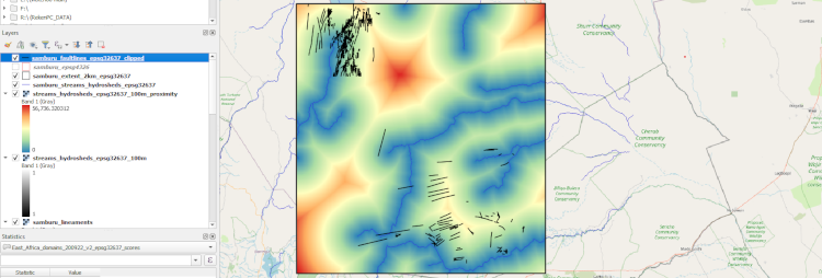
Groundwater mapping using public remote sensing data and local site information on geology and soils is a first step in identifying locations for groundwater exploration. This workshop provides participants with the skills to obtain public data from internet sources and skills to perform overlay analysis in the Quantum GIS software to arrive at a groundwater potential exploration map. While searching for drilling locations, a field survey needs to be executed based on sites with high potential identified from the overlay analysis.
- Teacher: Laurens de Vries
- Teacher: Theo Kleinendorst
