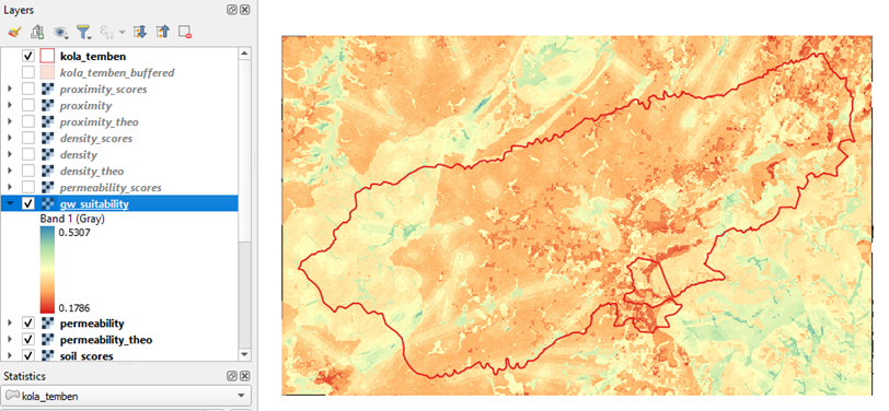
This workshop provides training for the use of remote sensing and overlay analysis to perform groundwater exploration suitability mapping. This is followed by training on the interpretation of maps and subsequent actions needed before groundwater exploration starts. The training makes use of QGIS for overlay analysis.
- Teacher: Jeanne Bazin
- Teacher: Tadele Dagne
- Teacher: Laurens de Vries
- Teacher: Theo Kleinendorst
- Teacher: Dr. Maarten J. Waterloo
